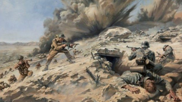
Djebel El Rhar Holdouts DTO (id:#61049)
Longstop Hill, Tunisia
1942-12-24 (5 others)
Designer: Ray Tapio
Starter kit scenario?: Deluxe scenario?:
No balance information available
Overview:
The second Allied attempt to drive on Tunis required the capture, in advance, of several key jump-off positions. Most important was securing Longstop Hill. Longstop rises to more than 900 feet, is marked by a succession of knolls, and dominated the Medjerda River valley. Yet importantly, after the highest point of Longstop, Point 290, there is a second, only slightly lower hill call Djebel el Rhar, separated from the rest of the hill by a ravine. Longstop was to be taken during the night of December 22-23 by a reinforced company of the 2nd Battalion, Coldstream Guards. After securing Longstop, the Coldstreams were to hand it over before dawn to the 1st Battalion, U.S. 19th Infantry and hurry back to Medjez el Bab in order to join the main phase of the move on Tunis. But the Guards were not aware of the second, lower hill.Attacker: British (2nd Coldstream Guards)
Defender: German (754th Regiment)
4.5 turns
Players: 2 OBA: None Night: No| Unit Counts: |
| Squads: A:9.5 D:6.5 |
| AFVs: A:0 |
| AFVs: D:0 |
| Guns: A:0 OML 2-in. Mortar x 2 D:1 8cm GrW 34 5cm leGrW 36 |
| Misc Rules: |
| Map Board(s): |
| Publication | Board |
|---|---|
| Afrikakorps - AK001 El Alamein | CH: Tobruk |
| Overlays: | HM1 |
Errata (source)
Players wanting to play this game/Request a match:
Scenario info
| Action | Date |
|---|---|
| hoxson1 Modified the overview | 2020-12-21 17:54:48 |
| hoxson1 Set the designer field | 2019-08-12 14:27:59 |
| hoxson1 Uploaded an Image | 2018-07-31 13:54:55 |
| hoxson1 Uploaded an Image | 2016-04-06 23:42:04 |
| nebel Modified the Defender's Guns | 2012-08-26 13:51:37 |
| File | Description | User | Views |
|---|---|---|---|
| (britgerm.png) | Image | hoxson1 | 1411 |
| (longstop painting.png) | Image | hoxson1 | 1377 |
| Description | Uploaded by |
|---|
| Title | Author | Date |
|---|
| Description | Uploaded by |
|---|
Quick Map View
No Map available yet! Please create one, or upload a map image file...
Location
Not found


